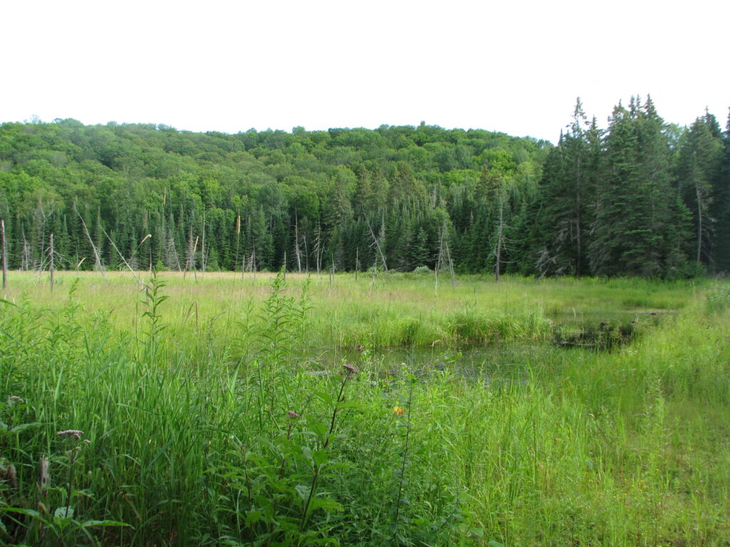
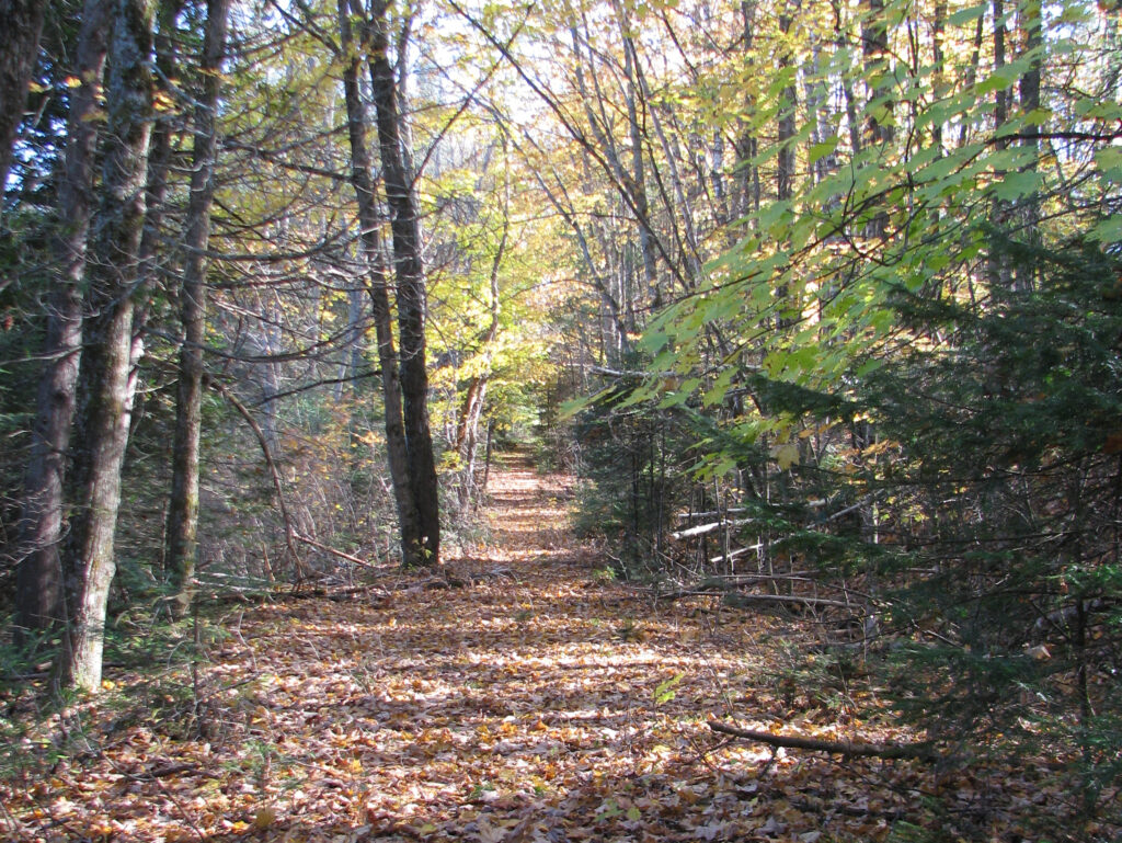
This trail offers a pleasant stroll on what used to be a portion of the original road to Wilberforce. Construction of Provincial Highway 648 in 1964 bypassed this piece of road and Mother Nature reclaimed it. You may notice remnants of old pavement under foot. While this forgotten roadbed does eventually connect up with the existing highway just south of town your efforts to follow it through will be thwarted when the road abruptly disappears under a scenic wetland.
Before turning back take a moment to admire the massive beaver dam that created the marsh and marvel at the engineering skills of this energetic family of beavers.
If you happen to be a geocacher, there are geocaches hidden along this trail.
Download Farr Road Walking Trail Map
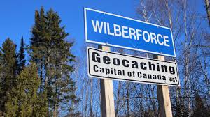
Don’t forget to stop by Wilberforce and explore. This picturesque hamlet nestled on the shores of Pusey Lake (commonly referred to as Dark Lake) has plenty to offer. Wilberforce is home to the first Red Cross Outpost in Ontario which is now a National Heritage Site, and is the Geocaching Capital of Canada. Be sure to also stop by and shop at Agnews General Store or enjoy some home cooking at South Algonquin Diner.